Mighty Kilimanjaro Marangu Rt.
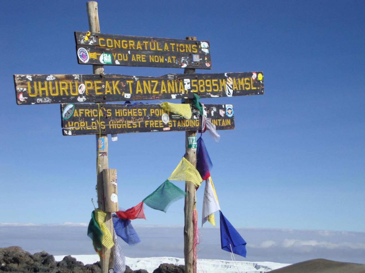
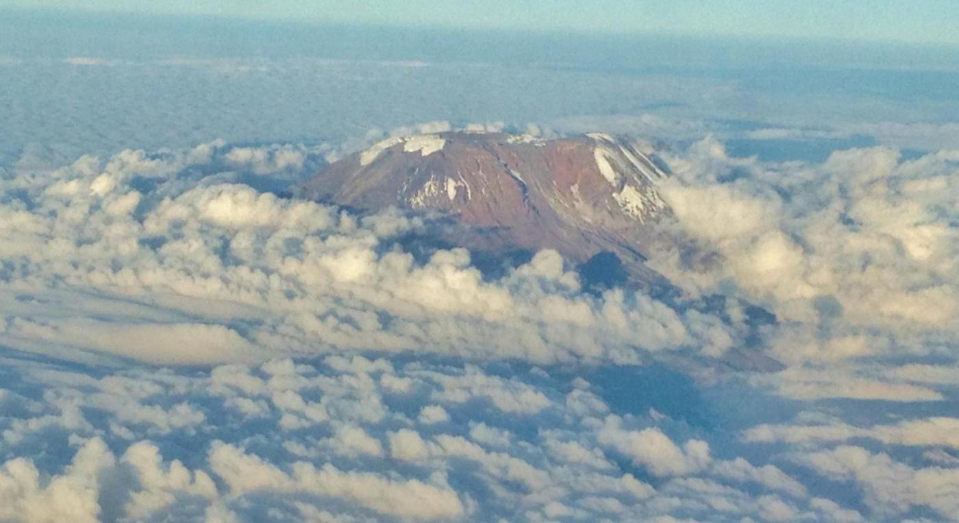
Mount Kilimanjaro is Africa’s the highest free-standing mountain in the world (5,895 metres, 19, 341 ft), also known as “The Roof of Africa”. The vegetation and landscapes are amazing ranging from lush green rain forests to, wide expanse of moorlands, to alpine deserts to glaciers and snow-capped summit. Climbing Kilimanjaro is an unforgettable adventure. “Never measure the height of a mountain until you have reached the top. Then you will see how low it was.” (Dag Hammarskjold)
-
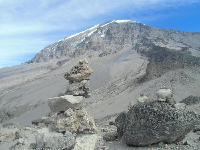
The Marangu route is also known as the Coca- Cola route. It is the oldest, most well established route. Many favor the Marangu route because it is considered to be the easiest path on the mountain, given its gradual slope. The route has the least scenic variety of all the routes because the ascent and descent are done on the same path and is is favored only during the rainy season, because of the huts and dormitory style accommodations. This route is usually done in 5 days, but you can do it in 6 days for better acclimatization. You can spend the extra day resting at Horombo or climbing to a base camp below Kibo’s sub peak Mawenzi.